Thursday, 16 January 2014. Well, here we are in a brand New Year and I am SO far behind in updating this blog. Our cruise into Alaska's Inside Passage seems like it took place ages ago, when, in truth, it's only been a short six months ago. But we've made it thru the holidays now and I have no excuse for not getting off my butt and getting this blog updated. So here we go.
If I remember correctly, in our last blog entry we were still in Auke Bay on our whale watching excursion and also espying some eagles. Well, the "blog date" is now Thursday, 10 July, last year. The Golden Princess left Juneau at about 9:30pm and set a northerly course thru Lynn Canal for our next port of call in Skagway. By 5:30am on 11 July our cruise ship was making fast alongside her berth in Skagway Harbor.
Skagway, by the way, gets its name from the Native Tingit people: "a windy place with white caps on the water." Surrounded by the Taiya Inlet and the Coastal Mts, Skagway sits atop the northernmost of Alaska's Inside Passage. This distinctive geography made Skagway the perfect starting point for gold miners hoping to strike it rich in Canada's Yukon Territory when gold was discovered there in 1986. While the Klondike Gold Rush (KGR) only lasted a few short years, Skagway erupted into a state of chaos with gold prospectors hungry to stake their claims. In its heyday, this rough-and-tough-and-tumble frontier port boasted more than 80 bars. Must have been one heck of a rowdy town!
Our chosen excursion for this port of call (and Lynette's folks, Glenn & Glenna, joined us on this day) was a ride on the historic White Pass & Yukon Route (WP&YR) scenic railway, which was the quickest way to travel during the KGR in the late 1890's. Built in 1898, at the height of the KGR in only 26 months, the WP&YR is recognized for the many difficult and hazardous obstacles that construction overcame: design challenges, granite mountains, steep grades (some almost 4%), cliff hanging turns, and unimaginable weather conditions, including winter temps of minus 50 to 60 degrees. Because of the courage and brave acts of the construction workers, the WP&YR was designated an International Historic Civil Engineering (CE) Landmark in 1994 -- an honor shared with other CE marvels such as the Eiffel Tower, Statue of Liberty, and the Panama Canal. Construction workers on this narrow gauge railroad blasted thru the rugged Coastal Mts, using over 450 tons of explosives to create what some call a "railway built of gold." This particular railway trip climbs from Skagway Harbor to almost 3,000-ft at the top of White Pass -- and into Canada's Yukon Territory. The passenger cars of this vintage train have large, panoramic picture windows and small landings between the cars for some amazing views and photo-ops -- and there were lots of those, believe me. The WP&YR 41-mile round trip includes steep grades and cliff-hanging turns over some deep canyons. WP&YR rolling stock consists of 20 diesel electric locomotive, 82 restored coaches and 2 steam locomotives. Believe the following pictures speak for themselves. Hope they convey just some of the awesome beauty we experienced on this very worthwhile excursion. Enjoy!
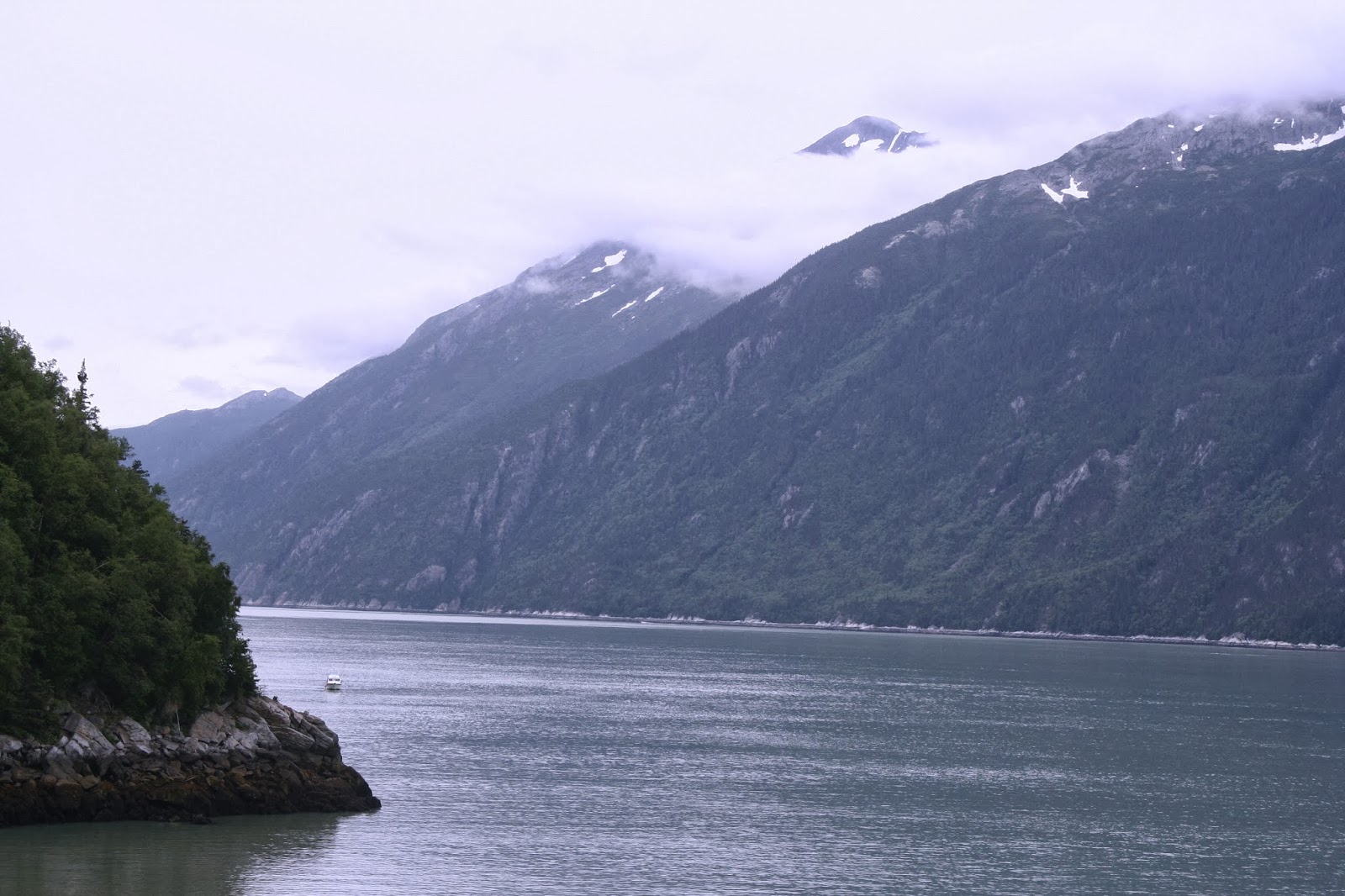
View of Skagway Harbor from our cruise ship, looking back at the entrance to the harbor.
One of the restored, vintage WP&YR cars. Passengers coaches are named after lakes and rivers in Alaska, the Yukon and Canada. I took virtually all these pics perched on the small landing between the cars and not from inside the car. Think I got some better pics that way.
One of the colorful tourist buses available for tourists to see the sights in-and-around Skagway.
A view of the WPYRR depot and one of the extra engines.
A shot of one of the older WP&YR engines used in days past -- many days past!
The start of this trip, just outside Skagway; mostly flat terrain now, but not for long.
One of the many bridges we crossed; compare this one with some of the other bridges higher up into the mountains and nearer the White Pass Summit.
A view from the train, looking back at Skagway Harbor. Can you see the cruise ship in the distance?
A view of one of the many waysides, mainly for hikers who can flag down the train for a lift back into Skagway. We passed several of these on our way to the summit.
Another view, looking further up into the mountains. Also shows how close the train comes to the side of mountain -- more shots will show how close!
The following several shots show just a small part of the stunning scenery and breathtaking views we experienced on this excursion. The next several shots are looking across Dead Horse Gulch (so named because over 3,000 pack horses/mules met their end on this part of the trail due to neglect or being overworked by the gold prospectors trying to get to the gold fields in the Yukon Territory) and Tormented Valley that offered rail riders wonderful views of numerous waterfalls, glaciers, and scenic vistas.
A waterfall that came off the mountain on the other side of the valley from the tracks.
The highway that paralleled much of the railway journey.
A view of one of the several bridges we would cross on our journey to the summit.
Shot taken leaning out, looking alongside the train as we continue to climb higher.
Climbing still higher...
Rounding a curve as we climb higher into the mountains...
Here's a couple shots of Denver Glacier as we passed in the distance on our way to the summit. I made the second shot with my Canon telefoto lens that let me get a close-up.
I was impressed with some of the wildflowers we saw during our trip. Brilliant colors!
Close-up shot of the wildflowers.
As we got closer to the summit we caught some breathtaking views of the surrounding mountains.
As we approached the summit, we had to pass thru several tunnels. See the guy in the blue shirt? He's standing on that small landing between cars that I described earlier -- and where I stayed on most of the trip to take these pics. Sure glad I was wearing a hoodie -- it got quite cool close to the summit.
A view looking down Dead Horse Gulch. If you want to know more about how this part of the trail got its name, google it to find out the really dreadful story behind it. Very unpleasant, to say the least.
View of Skagway Harbor from near the White Pass Summit. You can also see that highway (center bottom) that paralleled our train ride for much of the day's journey.
Another of the many bridges we had to cross among the various valleys.
View looking down Dead Horse Gulch and one of the older (and no longer functional) bridges that crossed the Trail on the ride to the Summit.
Almost at the top of White Pass Summit -- and yes, that's snow alongside the train tracks. Above the tree line at this point of the journey.
One more turn and we'll be entering Canada's Yukon Territory.....
Looking back at where we came from and the mountains in the distance.
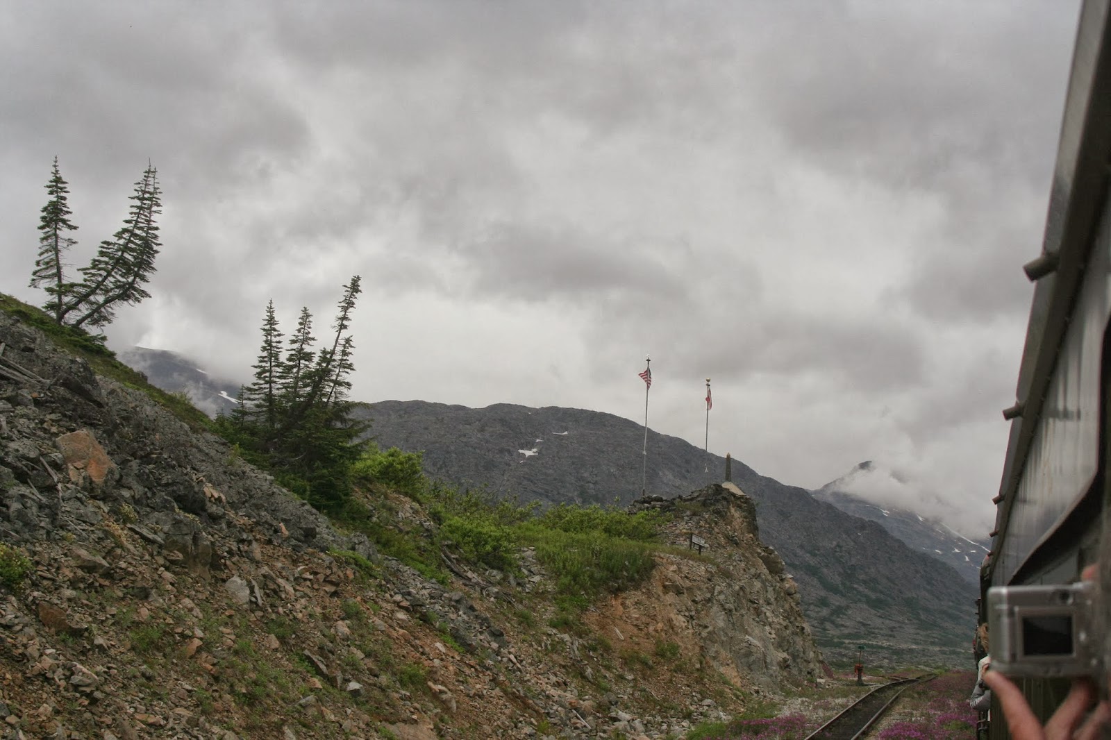
Approaching the border between Alaska and Canada's Yukon Territory. You can see the US and Canadian flags in this pic that mark the actual borner.
Sign at the actual White Pass Summit along with the distance back to Skagway.
The US-Canadian border, with national, state, and territorial flags. The small cabin in this photo is the Royal Canadian Mounted Police border crossing station used during the Klondike Gold Rush days.
For our return trip to Skagway, the engines reversed ends of the train; here's a shot of the engines coming back to hook up to the passenger cars.
A view of Summit Lake, a long, narrow and quite deep lake that extends from the White Pass Summit well into Canada's Yukon Territory. I can only imagine how COLD that water was!
On our way back to Skagway. This pic shows just how close the train comes to some of the scenery! I had to be very careful leaning out taking pics like this -- and the next one -- for fear that my head became a permanent part of the scenery!
Continuing our journey back to Skagway...
A shot showing a now-abandoned "cache" along trackside; used by the railway men to keep various pieces of equipment (shovels, picks, etc) that kept the tracks open and running. Saw several rusty old pieces of gear all along the trip, both coming and going back.
Still more bridges to cross on our return journey; this is actually another WP&YR scenic train that was several minutes behind us.
A shot of the Denver Glacier Trail wayside cabin (an old caboose) for hikers. The railroad kept this fixed up for overnight stays and travelers could catch the train back to Skagway...or if headed to one of the many trails that abound in this part of Alaska, take the train from Skagway to here before heading out.
Close up shot of the sign alerting the stop at the Denver Glacier Trail wayside cabin.
A view of an old gold mining operation on the outskirts of Skagway. This was on the list of excursions offered by our cruise ship while in Skagway.
An old rusted-out engine alongside the tracks. Looked like a good photo-op...
Back in Skagway Harbor after our day-long scenic train ride aboard the WP&YR. Glenn, Lynette, and Glenna (Denny's behind the camera, as usual) pose in front of our cruise ship, the Golden Princess, and appear to be ready for some chow -- or maybe a nap before dinner. Now that sounds like a really great idea! After all, we are on vacation!