One gem we did find was the National Park Service (NPS) Center at Exit 32, about seven miles east of Medora. This is not your typical NPS Center and rest stop, although we did end up having a bite to eat for lunch here as we explored the Center, its well-stocked gift shop (postcards for the grandkids!), and scenic viewpoints. This NPS Center sits at the edge of the Theodore Roosevelt National Park and smack in the middle of the Missouri National Grassland. I took several pics from the Center's scenic viewpoint of the North Dakota Badlands that sit inside the TR National Park. Different than the South Dakota Badlands -- which, while having their own kind of "beauty" looked just plain nasty. I could only imagine wagon trains headed west having to cross the SDakota "bad lands" country. The Badlands here in North Dakota have a very striking beauty to them. I hope the pics capture that perspective.


The following five pics are more-or-less a panoramic view of the Badlands looking toward the TR National Park. I snapped the pics one after the other, moving the camera slightly to the left before each pic.


The "hills" in these Badlands pics are formed by a combination of the elements: wind, rain, snow, and something call "slumping." Trust me, that's the technical term for how some of these "hills" are formed. Here's a close-up of one of the "hills" after probably tens of thousands of years of wear and tear.


Here are two additional pics showing more detail of the "slumping" effect.


After grabbing a bite to eat and thoroughly enjoying this NPS Center, we again headed west on I-94, finally crossing the border at Beach, ND, and soon passing through Wibaux and Glendive, Montana. Oh, and we somehow managed to cross the Yellowstone River twice during our travels today on I-94. Our destination for tonight was Terry, MT, a small town (and I mean "small" with a population of 600) about 300 miles from tomorrow's destination campground, Yellowstone's Edge RV Park in Emigrant, MT. From this park, which is situated right on the Yellowstone River, we are only about 30 minutes from the north entrance to Yellowstone National Park. We'll be in the Yellowstone area for four full days, so hopefully we'll have plenty of opportunity to see and do everything we want. Cheers!
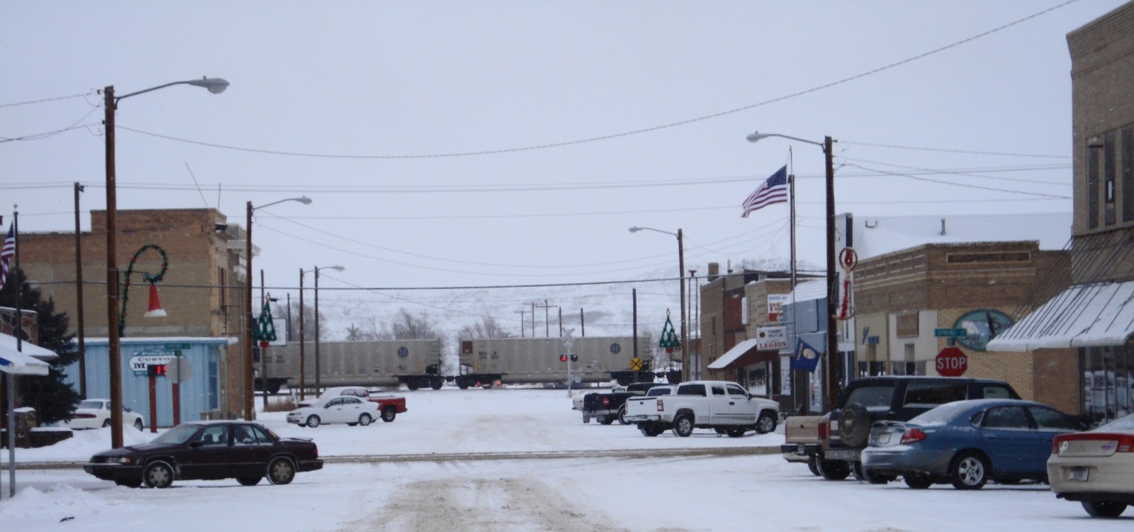
Just for kicks, here's a pic of Terry, Montana (during the winter, obviously, so I didn't take this shot) to give our blog readers an insight into how "small" Terry actually was. And don't ask about our campground -- don't think we'll be coming back to this particular campground anytime soon.
No comments:
Post a Comment